 |
 |
 |
 |
| FAMILY list (thumbnails) |
 |
 |
 |
 |
| FAMILY list (names only) |
 |
 |
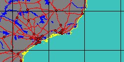
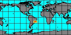
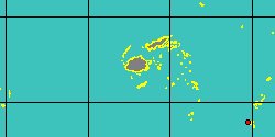
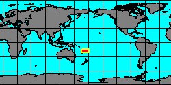
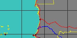
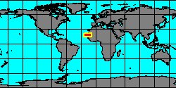
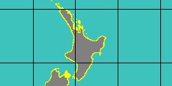
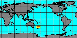
| SEGUENZIOIDEA (unassigned) (geographic) |
 |
| SEGUENZIOIDEA (unassigned) (thumbnails) |
|
|
| SEGUENZIOIDEA (unassigned) (thumb+maps) |
|
|
| SEGUENZIOIDEA (unassigned) (names only) |
|
|
| SEGUENZIOIDEA (unassigned) (no synonyms) |
|
|
| SEGUENZIOIDEA (unassigned) (no variety) |
|
|
Class: GASTROPODA
--- Taxon Tree: VETIGASTROPODA [Subclass] - SEGUENZIOIDEA [Superfamily]
|
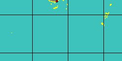
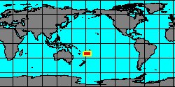
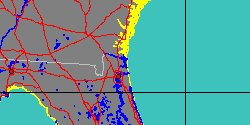
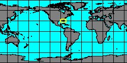
------ Family: SEGUENZIOIDEA (unassigned) Verrill, 1884 (Sea)
DB counters: Genus=19, Subgenus=1, Species=179, Subspecies=0 ( 78 Species and 0 Subspecies have images) DB counters include Fossil taxa: Species=18, Subspecies=0 |

|
| |||||||||||||||||||||||||||||||||||||||||||||||||||||||||||||||||||||||||||||||||||||||||||||||||||||||||||||||||||||||||||||||||||||||||||||||||||||||||||||||||||||||||||||||||||||||||||||||||||||||||||||||||||||||||||||||||||||||||||||||||||||||||||||||||||||||||||||||||||||||||||||||||||||||||||||||||||||||||||||||||||||

/5066000697.jpg)
/5066000693.jpg)
/5066000692.jpg)

/5539751699.jpg)

/5066000744.jpg)
/5066000775.jpg)
/5066000773.jpg)
/5070000137.jpg)
/5066000949.jpg)
/5352000042.jpg)
/5070000126.jpg)
/5070000125.jpg)
/5066000772.jpg)
/5234000192.jpg)
/5234000193.jpg)
/5234000195.jpg)
/5070000091.jpg)